The Route
There are multiple routes up the cone. The most used originates from a car park and from there proceeds up through the village, ascending the mountain by one route and descending by another. 3.00am to 4.00am is a good starting time to view the dawn from the summit.| Animation of the most common route up Batur and some attractions along the way. |
If you are climbing at night without a guide you will need a route map as you will cross many paths leading elsewhere and sometimes the correct path is the least obvious.
View Climbing Gunung Batur in a larger map with icon legends and route notes. The second icon is the carpark at the start of the climb and the first is at hotel Volcano III where we commenced. |
Alternatively, you could follow the torch light of another guided group but that may lead to trouble and is poor form if you have refused guiding services.
Then and Now
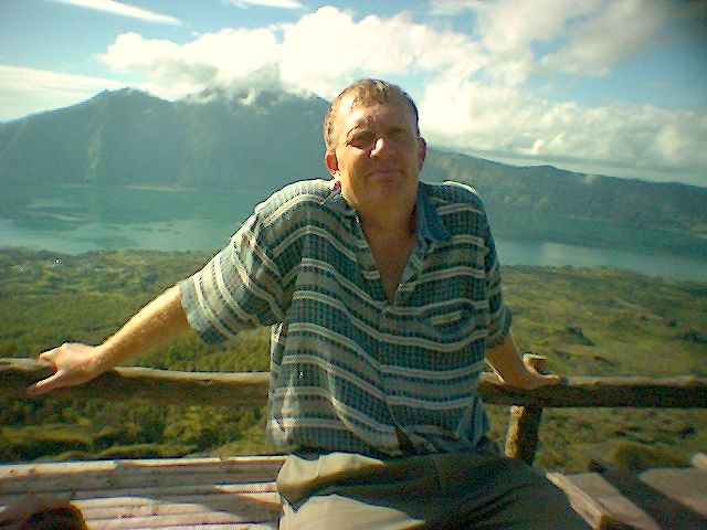
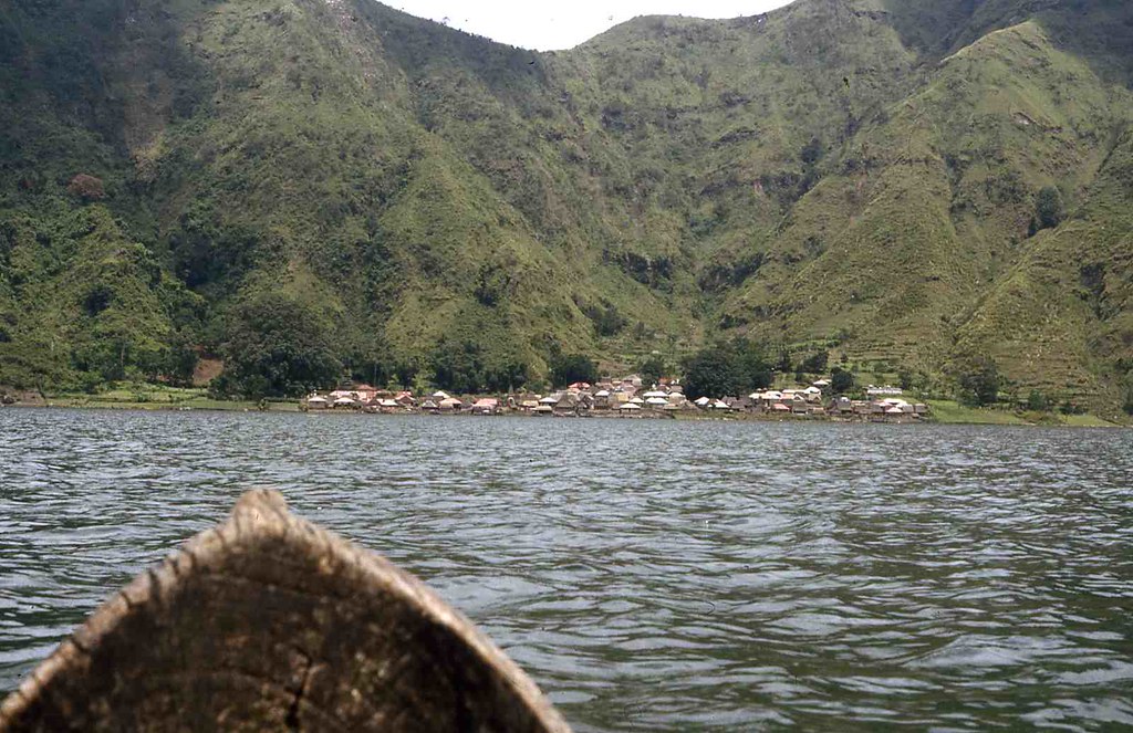
Despite being a modest climb, my first ascent in 1980 seemed quite an adventure. I had no idea Batur was there until I arrived on a trail bike after traversing roads impassable to cars. |
| The road close to Toya Bungkah in 1980 with the village in the background. Image: Around Gunung Batur - in the past set. |
 |
| Heading towards Toya Bungkah probably close to Kedisan, the village at the bottom of the descent into the caldera in 1983. Image: Batur - Change From 1967 Until Now gallery. |
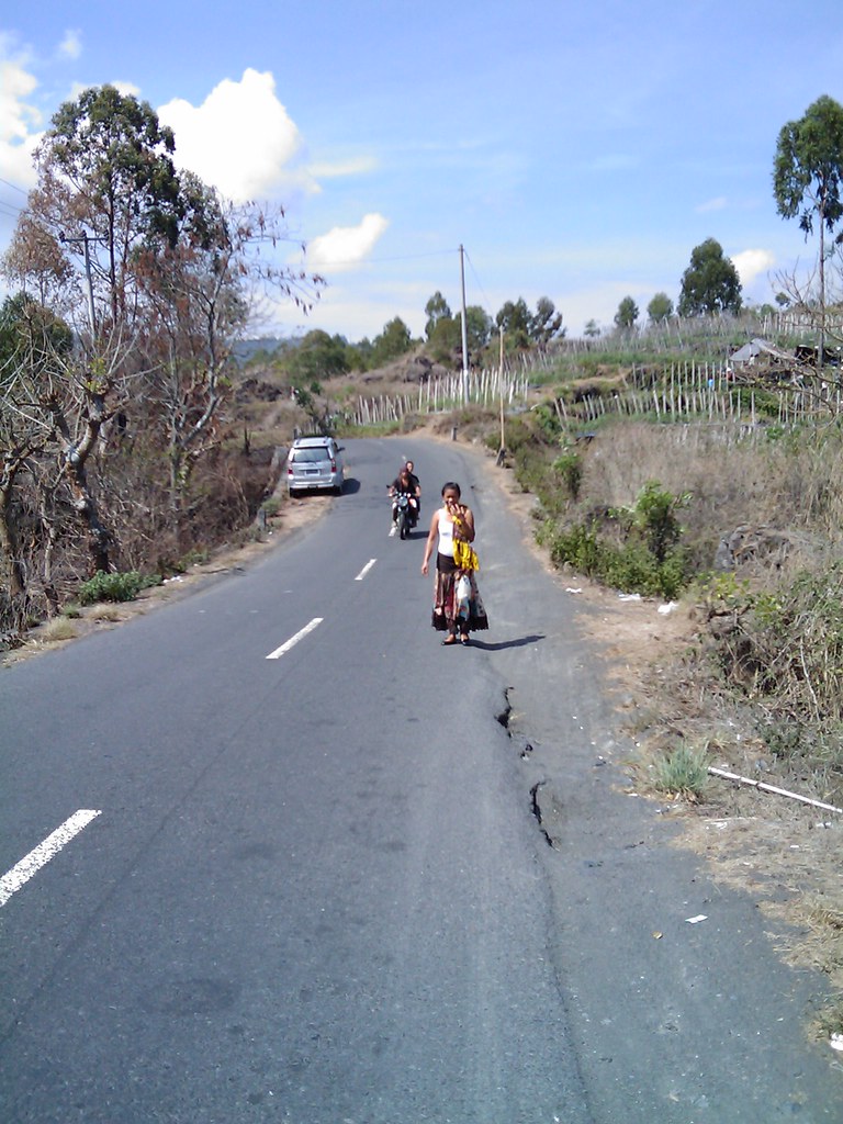 |
| The road near Toya Bungkah in 2009, still nothing special, but much improved. Nearby roads are built to a much lower standard and are still frequently impassable. Image: Batur and Trunyan in 2009 set. |
The village was recent. In 1967 it had not existed and in 1980 a warung was the sole commercial establishment.
 |
| This warung, typical of the style in Bali at that time, was the only commercial establishment in Toya Bungkah in 1980. I slept in this guys home. Image: Around Gunung Batur - in the past set. |
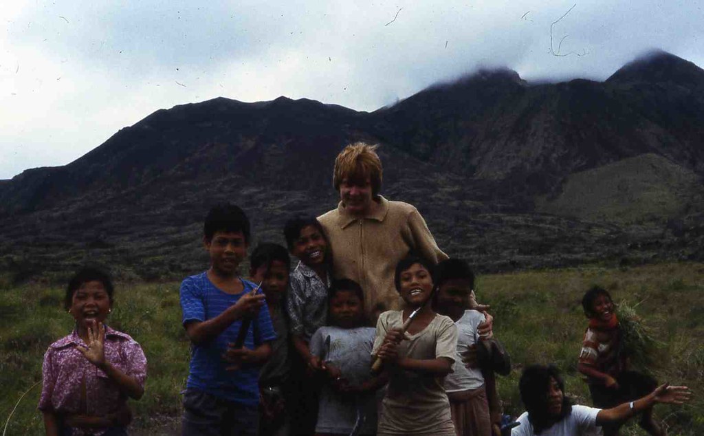 |
| These kids spent their days cutting grass for the cows and didn't attend school. I don't know if all the kids go to school today but there are plenty of people here in their twenties who didn't and weren't taught to read. Image: Around Gunung Batur - in the past set. |
Apart from the climb, the principal attraction of Toya Bungkah is the hot springs which the locals use as a communal bath. The public facility was pretty good in 1983 but has been developed and privatised so that there are now several facilities exclusively for tourists, some quite expensive. There is one new facility next to the car park that is free for Toya Bungkah residents and Rp50K for all visitors including Balinese.
 |
| The hot springs were a well constructed public facility in 1983. Image: Batur - Change From 1967 Until Now gallery. |
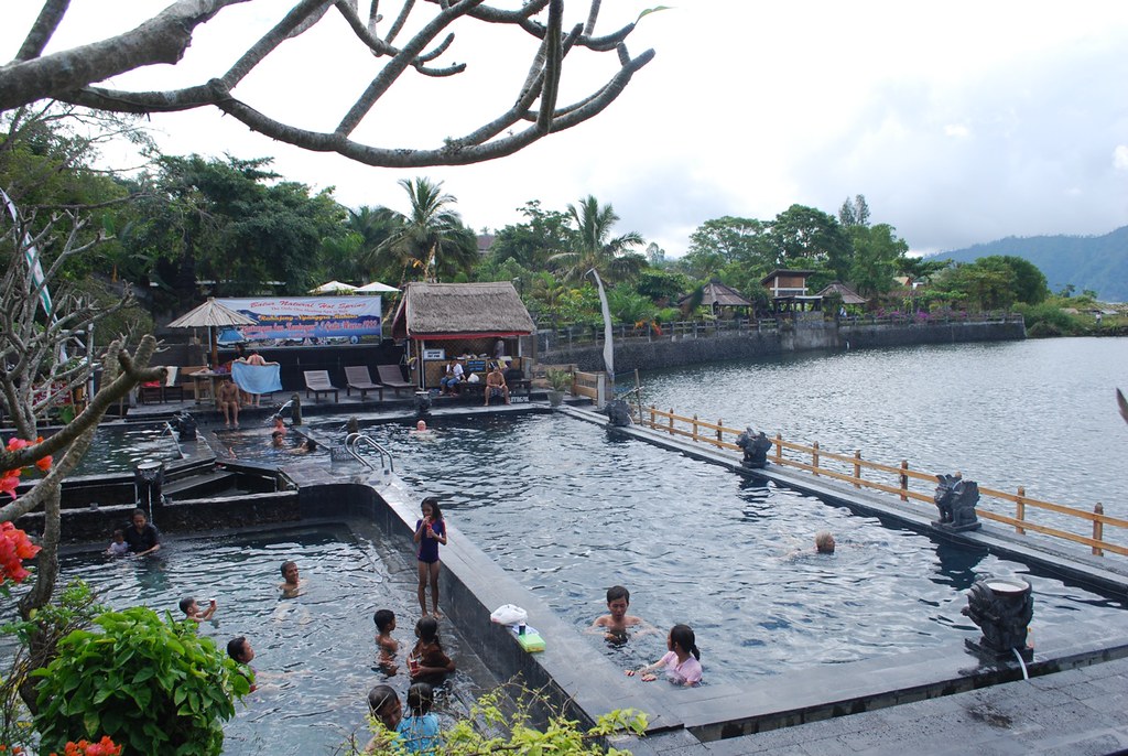 |
| The privatised facility on the site of the previous public facility, US$16 for foreigners and Rp40K for Indonesians. Toya Bungkah residents don't go here. Image: Batur - Change From 1967 Until Now gallery. |
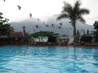 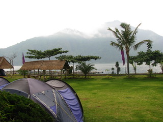 |
| The Ayu hot springs facility, with accommodation and Bali's only camping ground. Upmarket and exclusively for tourists and the wealthy. Image: Batur - Change From 1967 Until Now gallery. |
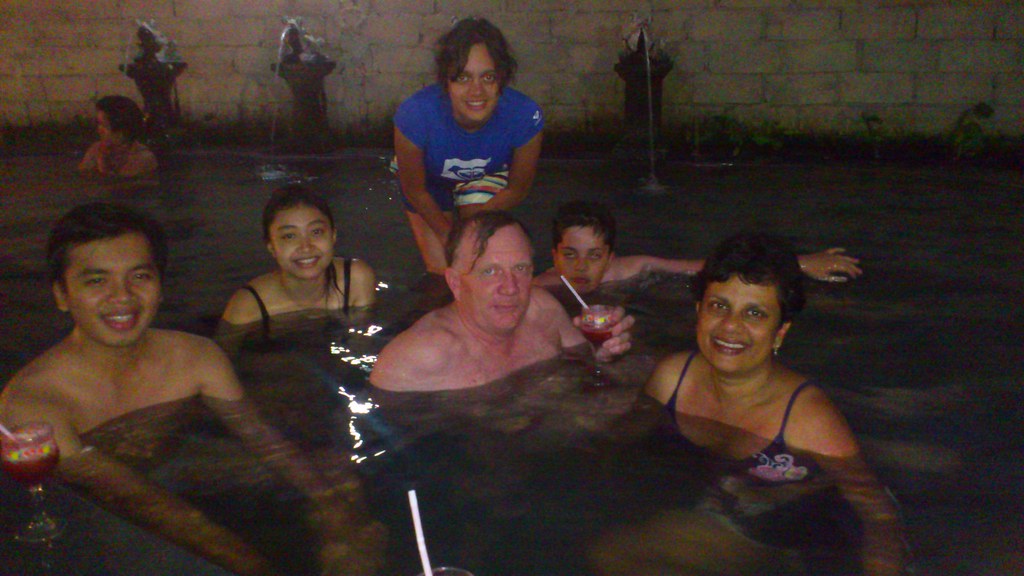 |
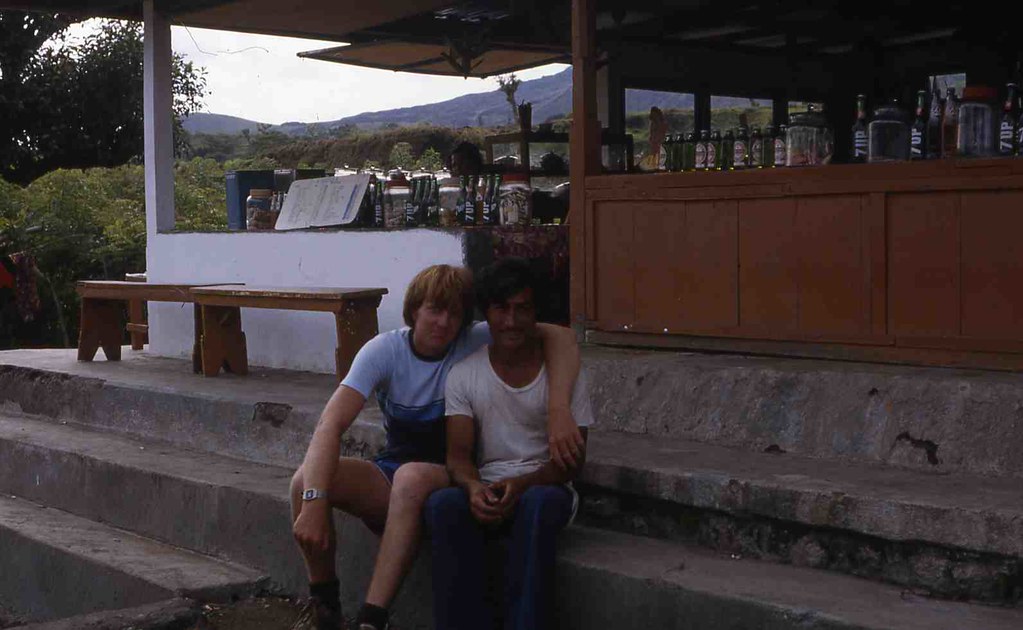
| With the climbing team at the facility near the car park. Free for Toya Bungkah residents and Rp50K for everyone else with a welcome drink. Image: Climbing Gunung Batur set. |
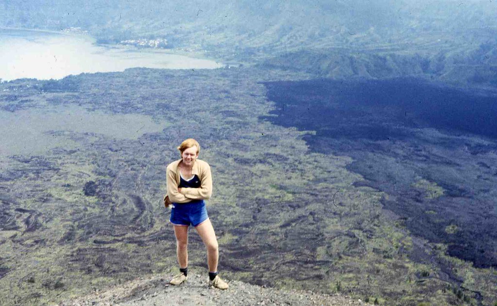 |
| Ascending Batur in 1980 Image: Around Gunung Batur - in the past set. |
 |
| Batur in 2005 Image: Gunung Batur Climb set. |
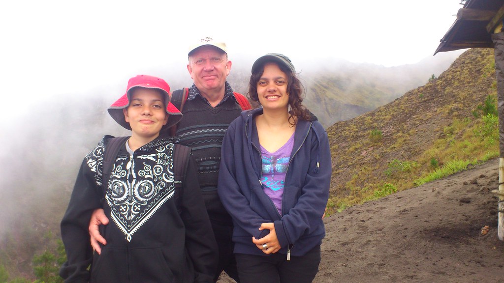 |
| Near the summit in 2012 with children not much younger than I was on that first climb. Image: Climbing Gunung Batur set. |
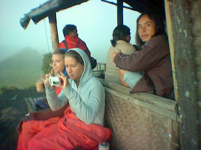 |
| Climbers resting at the summit warung in 2004. Image: Gunung Batur Climb set. |
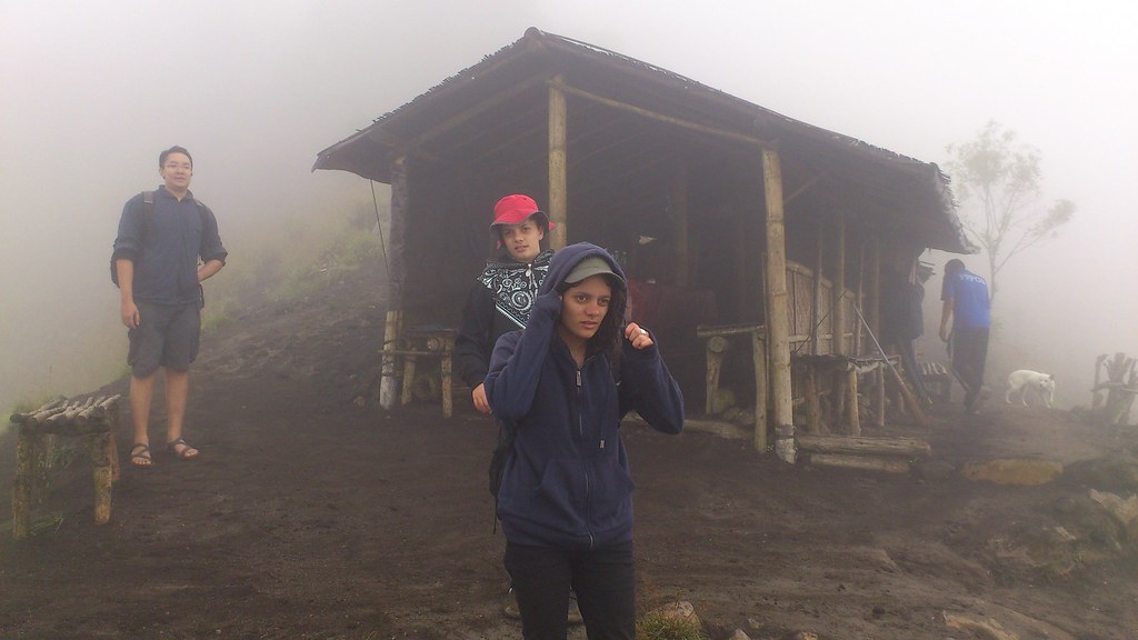 |
| Our party at the summit warung in 2012. Image: Climbing Gunung Batur set. |
 |
| It is a long way to the shore and I found this hollowed out log unstable and scary. Operating the camera while expecting to be in the water at any moment was tricky. You can drive on a rough track to Trunyan now but still need a boat to get the last few hundred metres to the cemetery. Image: Around Gunung Batur - in the past set. |
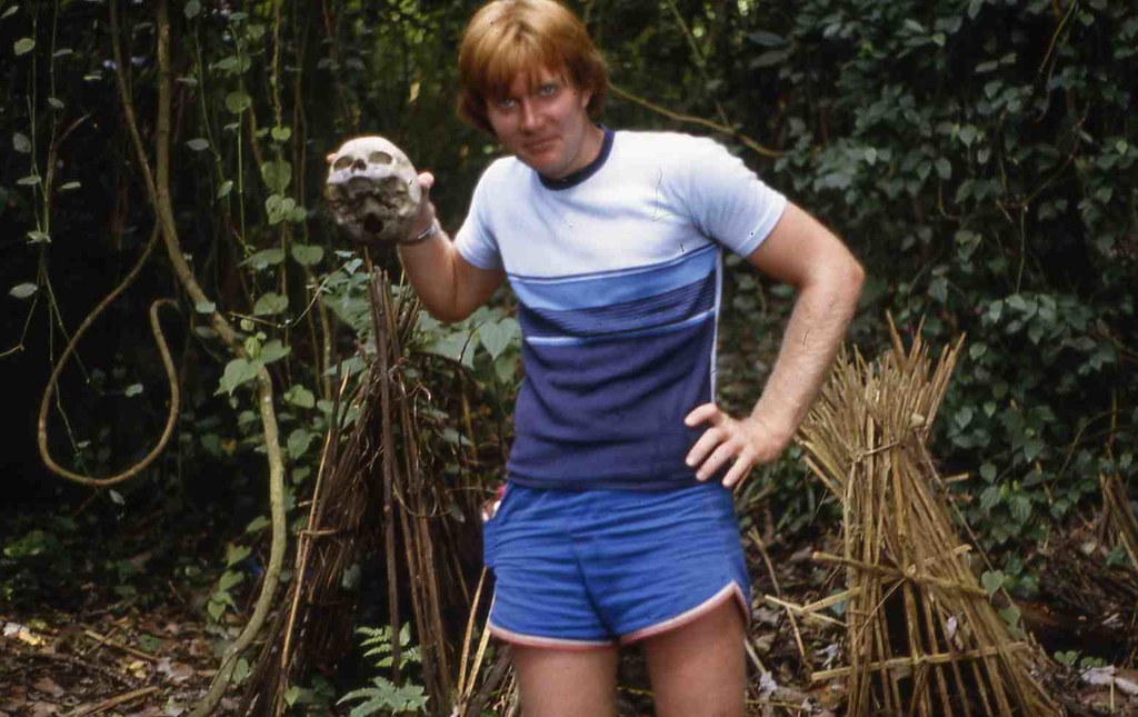 |
| Sky burial at Trunyan cemetery in 1980 Image: Around Gunung Batur - in the past set. |
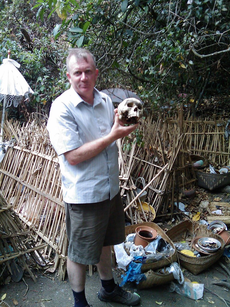 |
| It hadn't changed much in 2009 Image: Batur and Trunyan in 2009 set. |
Avoiding Trouble
It's easiest to pay up. Most climbers are brought directly from Ubud with the 40km drive being traversed in well under an hour when travelled in the early hours of the morning. A guide will be included in the package. You climb, swim and return with only pleasant experiences but are a little divorced from the locals. If you sleep nearby, particularly if you stay a few days, you will get a more grounded experience. This can be confronting as there is poverty and hassling, but you will see a different side of Bali with many people I've spoken to around the caldera claiming never to have been as far as Denpasar.For the climb you will be strongly encouraged to hire a guide. It may seem compulsory but it isn't and lots don't. We checked in at the police station in Penelokan before descending into the caldera and checked back out on departure which my local colleague said was the norm though I'd never done this previously or heard of anyone anyone else doing it either. Keen for reassurance from the police, we were also advised we couldn't be forced to hire a guide even when climbing with bule.
The Problem Is Widely Known
Batur rates as Number 4 on a list of the Top 5 worst tourist rip - offs around Asia which states "Mount Organized-tourist-extortion is a good name for it." The Jakarta Post reports "Anecdotal evidence says episodes such as these have been occurring around Kintamani and Lake Batur for some time, shaking the foundations of an important economic stream – tourism – for the region." and Trip Advisor documents some confrontations.
It's Been That Way For A Long Time
While I found Toya Bungkah pleasant in 1980 the guy that took me across to Trunyan kept telling me he feared extortion at Trunyan. This is is consistent with a quote from pg 19 of Custodians of the Sacred Mountain; Thomas A. Reuter; University of Hawai‘i Press; 2002; Travelers’ testimonies warn that local men may extort money from passengers by rocking their shaky boats as they ferry them across the lake. Authors of tourist guide books, who generally propagate romantic visions of smiling Balinese, have propagated the image problem of the hill people by characterizing them as “hostile, scruffy hustlers” (Winterton 1989:157–158) and as a potential “hassle” to those wishing to enjoy the natural beauty of their mountain home (Darling 1990:156)."Ever tried walking up Mt. Batur alone? Try it and you'll get extorted by machete-wielding locals that demand you pay them $50 to be a guide." reports one climber from July 2004 showing it's not a recent phenomenon.
It's Economically Based
No one likes extortion (essentially taxation by non government entities), but it's most common in exploitative social systems when governance is weak. Modern China is sometimes described as a kleptocracy and under Suharto this was an apt description of Indonesia which weakens government authority. While Indonesia has been rapidly changing, these are strong traditions extending back to Dutch rule and they are more obvious in Batur than some other places. Apart from natural beauty, the area has limited resources and a long history of exploitation as discussed in Custodians of the Sacred Mountain; Thomas A. Reuter; University of Hawai‘i Press; 2002. This leads to distrust of authority and widespread opposition to taking advantage of opportunities like geothermal energy which will impact many but from which only a few elite are likely to benefit. The best assets are privatised by the politically influential and the poor barely get by labouring at agriculture. The only ways to escape hardship are to leave or exploit and with the best assets already taken, only services remain.Many tourists will pay sums for half a days guiding that would otherwise require several weeks of agricultural toil to earn. Others stay away. In the absence of strong governance, groups emerge to capture the opportunity and without official authority, ultimately resort to stand over tactics to get their way. This is the environment that has bred the guiding cartel whose members can expect to do well as long as the monopoly can be maintained. One guide told me they have 63 members and work is divided amongst the members with each guide going to the bottom of the list after each job. My informant said they averaged 20 climbers a day. While pricing is variable, they have strong pricing discipline, in my case, only dropping the guiding offer to Rp280,000 after things had become so unpleasant that hiring a guide at any price was unlikely. This can only be possible when they are effective in suppressing competition.
Batur's climbers are a mere quarter of 1 percent of Bali's visitors of 2.8 million in 2011. Guides from elsewhere will usually bring tourists only as far as Kintamani for the view from the caldera rim and will not offer the climbing opportunity. The road into the caldera is tough on their vehicles, so much so that I've known drivers to refuse the descent, and they are not keen to share guiding revenue with their colleagues in Toya Bungkah. While much effort goes into maximising revenue from those that turn up, there is little obvious effort on promoting the climb. Climbing is not everyone's thing but there is surely an opportunity to increase Batur's current visitor numbers. One tourist in a hundred ought to be easy. Working against that is the community inequality, coercion and distrust of government that makes it difficult to achieve more cooperation and investment in shared infrastructure, particularly roads, that would be required to attract large visitor numbers. The guiding association's ambition of Batur being an upmarket experience, is consistent with Governor Pastikas view that Bali should be an expensive destination but it is incongruous for the opulence of the Ayu resort to be in stark contrast with the poor roads, poor infrastructure and obvious poverty over the fence.
With electricity and good mobile phone/internet reception Toya Bungkah is already not that weird "other world" I experienced in 1980 but increased development would mean losing some of the current atmosphere in the same way as Kuta has lost the atmosphere it had in 1980, as visitor numbers increased. Locals would welcome better roads and increased opportunities. Most visitors coming up for the day from Ubud probably wouldn't notice what was lost. While Kuta sadly destroyed much of its natural beauty as it developed a different sort of magic has emerged from the mayhem and the Kintamani region could develop its own different sort of magic and even maintain it's awesome natural assets.
The Positives
In 1980 when I first visited, Batur was pristine, probably because visitation was infrequent. On intermediate trips it was a free for all, covered in rubbish. Today it is clean, neat and not overbuilt. Someone must be responsible for this improvement and the new hot springs provide a facility rivalling that available to Toya Bungkah residents back in 1980. The guiding cartel at least benefits locals rather than absentee landlords.What To Do - Specifics
I've climbed without a guide as have others. The hassles will be at the base of the climb. Once you get part way up you are unlikely to have trouble and drink sellers may offer unofficial guiding services.You will need a flash light which can be purchased cheaply, some warm clothing and ideally rain protection.
If you are self driving/riding avoid vehicle damage by leaving your vehicle at the hotel rather than the car park at the base of the climb. One guy who suffered vehicle damage thought the cost of tyre repairs was still a bargain compared to guiding fees. Gentle persuasion will be tried first and be prepared for a forceful discussion and to resist strong demands. Some people have reported violence and though I experience fear arguing with strangers in the dark I don't think it usually gets too violent; or else I've been lucky. You might not get much immediate help in a confrontation but extreme violence seems unlikely and I've not heard of robbery. Confrontation is unpleasant and leaves a bad taste but once on the mountain a nice camaraderie develops and even the guiding fraternity seems not to hold a grudge.
Be careful looking down the 150 metres into the crater from the precipice near the bat cave (see the map) as at least one tourist fell to their death. I wouldn't want to be having an argument on this unfenced precipice.
Most of all, enjoy the experience because the view is great after it's earned and there's lots to do and see along the way.
Further Reading
- Image galleries showing beautiful images of Batur, beautiful images of the surrounding area, and most interestingly changes from 1967 around Batur including changes in the shape of the cone due to lava emitted from Batur's frequent eruptions.
- Image sets showing Gunung Batur - in the past, a Gunung Batur climb from 2005, Batur and Trunyan in 2009 and Climbing Gunung Batur recently.
- Lots of traveller reviews of Batur and surrounding areas on Trip Advisor.
- Wikitravel guide to Kintamani.